

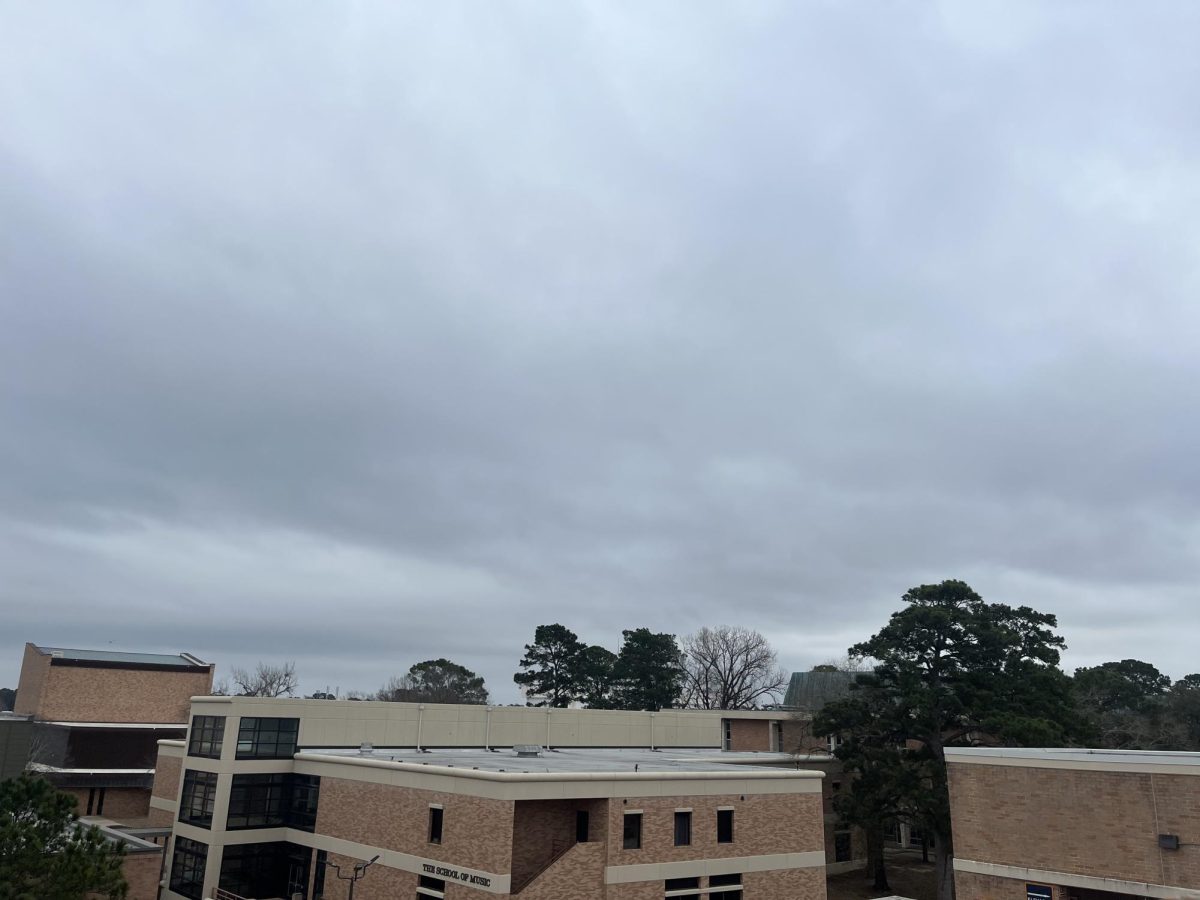
Severe weather is expected to pass through the Huntsville area, starting late Monday and continuing through Tuesday night. The forecast includes rain, thunderstorms and a drop in temperatures, as well as the possibility of damaging winds, hail and isolated tornadoes, according to the National Weather Service.
Rainstorms are predicted to begin Monday night after 5 p.m., with a slight chance of showers. The rain is expected to increase, with the possibility of thunderstorms before 11 a.m. Tuesday. The chance of rain for Tuesday is 90%, and there is a slight chance of hail.
Monday night’s winds are predicted to get up to 30 mph, and gusts could be as high as 35 mph on Tuesday. The low for Monday will be 64 degrees, while Tuesday night currently has a low of 49 degrees.
The cold front will pass through Southeast Texas overnight on Monday, with a small chance of isolated tornadoes for areas north of Interstate 10. The front will appear in the Brazos Valley, west of Huntsville, by daybreak Tuesday.
The National Weather Service encourages the public to receive alerts from multiple weather sources about changing conditions. Southeast Texas residents should be aware of possible hail damage, as well as be informed of the nearest safe space in the event of tornadoes.


